Our Core Services
Explore our specialized service categories designed to meet the unique challenges of marine environments.
-
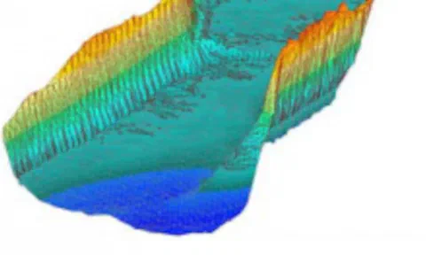 Hydrographic Mapping & Modeling
Precision Seafloor Mapping & Modeling
Sea Sight Survey delivers high-accuracy hydrographic charts and models: Civil 3D drawings, surface models, 3D templates, Lidar point clouds, and GIS-ready datasets produced to USACE standards.
-
 Analysis, Reporting & Compliance
Actionable Analysis for Critical Decisions
Sea Sight Survey transforms raw hydrographic data into decision-ready insights: precise volume calculations, seabed condition reports, survey plans, compliance documentation, and seafloor imaging.
-
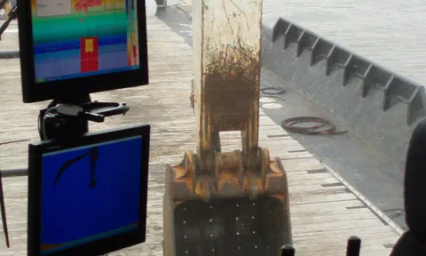 Machine Control Systems & Field Support
End-to-End Machine Control Solutions
Turnkey dredge machine-control systems that increase productivity, improve positioning accuracy, and reduce rework, with installation, calibration, full training, and support for the duration of your project.
-
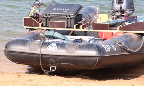 Equipment Sales & Training
Professional Survey Equipment & Training
Sea Sight Survey resells high-quality survey equipment for marine environments, handles installation so every sensor and mount is configured correctly the first time, and trains your crew to operate it with confidence.
Explore what we have to offer
Sea Sight Survey specializes in marine construction services such as hydrographic survey, machine control with our ClamVision software, dredging consulting, Dredge Quality Management compliance, and design template builds.
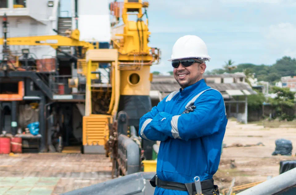
Sea Sight Survey is an asset to your marine construction project
We will hit the ground running with a practical approach prioritizing safety, accuracy, and communication.