Analysis, Reporting & Compliance
Actionable Analysis for Critical Decisions
Sea Sight Survey transforms raw hydrographic data into decision-ready insights: precise volume calculations, seabed condition reports, survey plans, compliance documentation, and seafloor imaging.
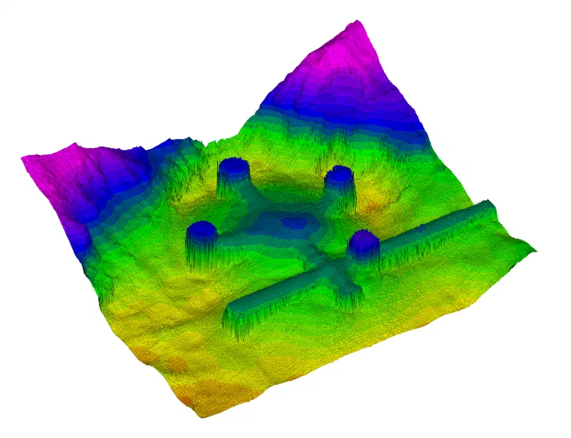
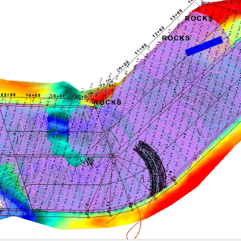
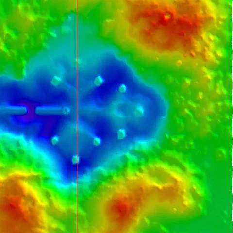
Sea Sight Survey transforms raw hydrographic data into practical, decision-ready insights. Our analytical reports provide clear interpretations of seabed conditions, ensuring project leaders understand exactly what lies beneath the surface. We deliver precise volume calculations that help dredging teams verify quantities, plan excavation, and minimize rework. Seabed condition reports are crafted to support safe navigation, risk identification, and early detection of hazards.
When required, we produce survey plans and compliance documentation that meet agency expectations and streamline approval processes. Clients rely on our seafloor imaging to visualize debris, structures, obstructions, and any bottom anomalies that may impact vessel movement or construction operations. With over five decades of combined experience, we know how to present complex findings in a way that is both technically accurate and easy to use. The result is a reporting package that informs smarter decisions, reduces operational risk, and supports regulatory requirements from start to finish.
Sea Sight Survey is an asset to your marine construction project
We will hit the ground running with a practical approach prioritizing safety, accuracy, and communication.