Partners in Marine Construction
Hydrographic Survey Services Built for Accuracy, Speed, and Clarity
Explore the depths with confidence using our state-of-the-art hydrographic survey solutions designed to deliver unparalleled precision and reliability.
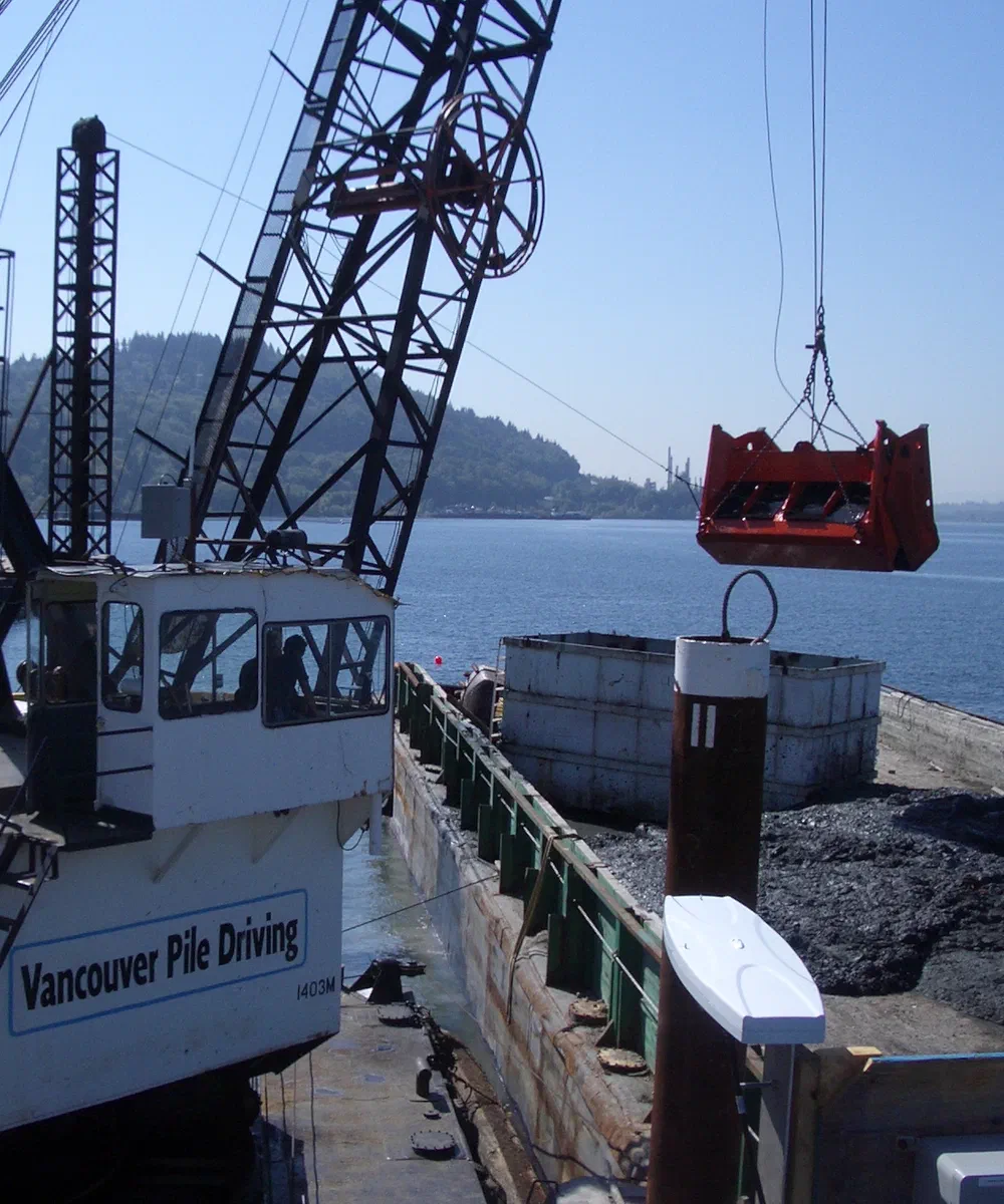
Precision Hydrographic Services
Sea Sight Survey specializes in marine construction services such as hydrographic survey, machine control with our ClamVision software, dredging consulting, Dredge Quality Management compliance, and design template builds. We will hit the ground running with a practical approach prioritizing safety, accuracy, and communication. Sea Sight Survey is an asset to your marine construction project.
Simple
Clear deliverables tailored for engineering workflows and regulatory requirements.
Quick
Fast mobilization and accelerated data processing support tight project timelines.
Accurate
Survey-grade sonar and proprietary modeling produce dependable, defensible results.
Simple and Stable
ClamVision Software
See every bite. Hit every grade. ClamVision turns your dredge's sensors into a live 3D picture of the dig: bucket position, design surface, tide, and production, so your crew stops guessing and starts proving.
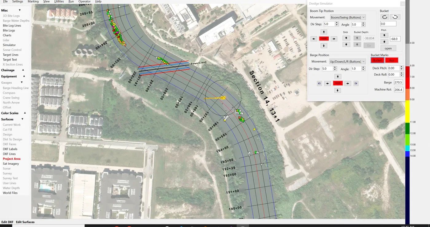
Built for the bucket, not adapted to it
At the center of our operations is ClamVision, a robust, 22-year-old positioning and machine-control platform developed and refined by Harrison Steves. Its machine-control capabilities allow operators to visualize grade targets, maintain real-time precision, and execute dredging or construction tasks with dramatically fewer errors and less downtime.
- Dig with certainty: a live 3D model of barge, boom, and bucket against design grade, corrected for tide, on every bite
- Prove your volume: continuous surface differencing turns every bite and sounding into defensible numbers
- Run the whole spread: Relay Server and DredgeHQ connect every dredge, survey boat, and office screen
Explore what we have to offer
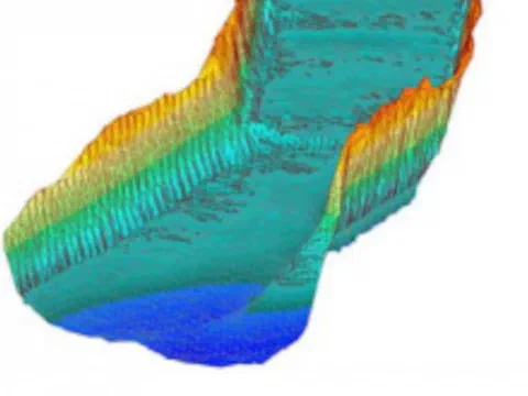
Comprehensive Survey Solutions
Discover Our Expertise
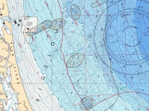
At Sea Sight Survey, we offer a full suite of hydrographic survey services tailored to meet the diverse needs of maritime industries. Our expert team utilizes cutting-edge technology to provide detailed ocean-floor mapping, ensuring safe and efficient navigation for vessels of all sizes. From initial data collection to final reporting, we deliver comprehensive solutions that adhere to the highest standards of accuracy and compliance.
Our commitment to excellence is reflected in every project we undertake, providing clients with the insights needed to make informed decisions. Whether you're planning a new maritime route or conducting environmental assessments, our services are designed to support your objectives with precision and clarity.
About Sea Sight Survey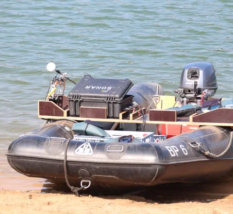
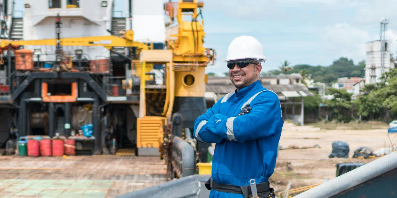
What clients say
"I would recommend and support their work based on my experience with their past performances and demonstrated abilities."
"I have used their services and can say the following: Reliable, thorough, and most importantly, easy to consult with. Harry and Chris have been superb at adding/changing or whatever additional was asked in a timely manner."
Sea Sight Survey is an asset to your marine construction project
We will hit the ground running with a practical approach prioritizing safety, accuracy, and communication.