Hydrographic Mapping & Modeling
Precision Seafloor Mapping & Modeling
Sea Sight Survey delivers high-accuracy hydrographic charts and models: Civil 3D drawings, surface models, 3D templates, Lidar point clouds, and GIS-ready datasets produced to USACE standards.
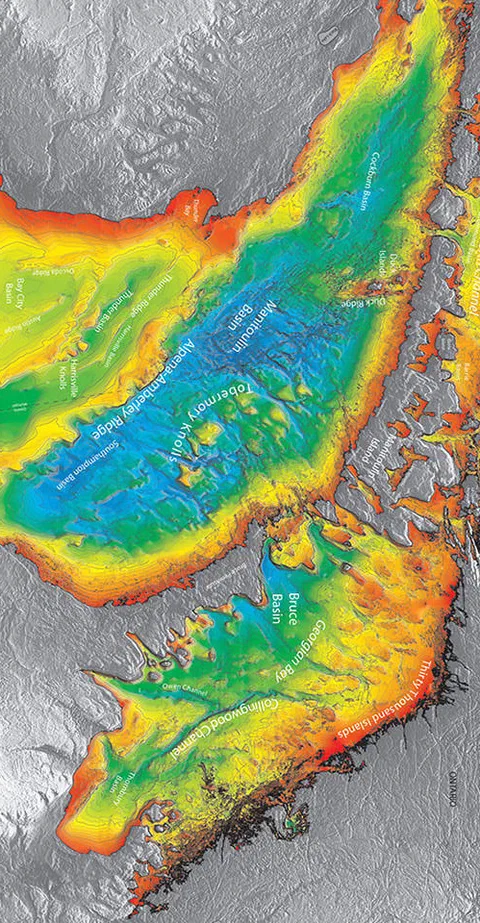
Sea Sight Survey delivers high-accuracy hydrographic charts and models that give mariners, engineers, and project managers the confidence to make informed decisions. Our sonar-based mapping products, including Civil 3D drawings, surface models, and 3D templates, are produced to USACE standards and resolved to industry-appropriate grid sizes for maximum clarity. These datasets allow you to understand water depth, bottom shape, and surrounding features with a level of detail that competitors often struggle to match.
Lidar point clouds and GIS-ready datasets further expand your visual understanding of both above-water structures and sub-surface geometry. Every deliverable is formatted for seamless integration into engineering workflows, eliminating the frustration of incompatible files. With Clam Vision powering our production, we generate accurate, intuitive models faster than traditional survey teams. Whether you’re navigating large vessels, planning a marine construction project, or verifying bottom conditions after dredging, our mapping products give you reliable insight when it matters most.
Sea Sight Survey is an asset to your marine construction project
We will hit the ground running with a practical approach prioritizing safety, accuracy, and communication.